Farm data management system for precision agriculture with satellite data.
Includes convenient and practical tools for:
- Importing or recording field boundaries
- Crop rotation data recording and planning
- Preparation of the plan for a Field: from sowing to harvesting with calculated quantities of seeds and fertilizers required
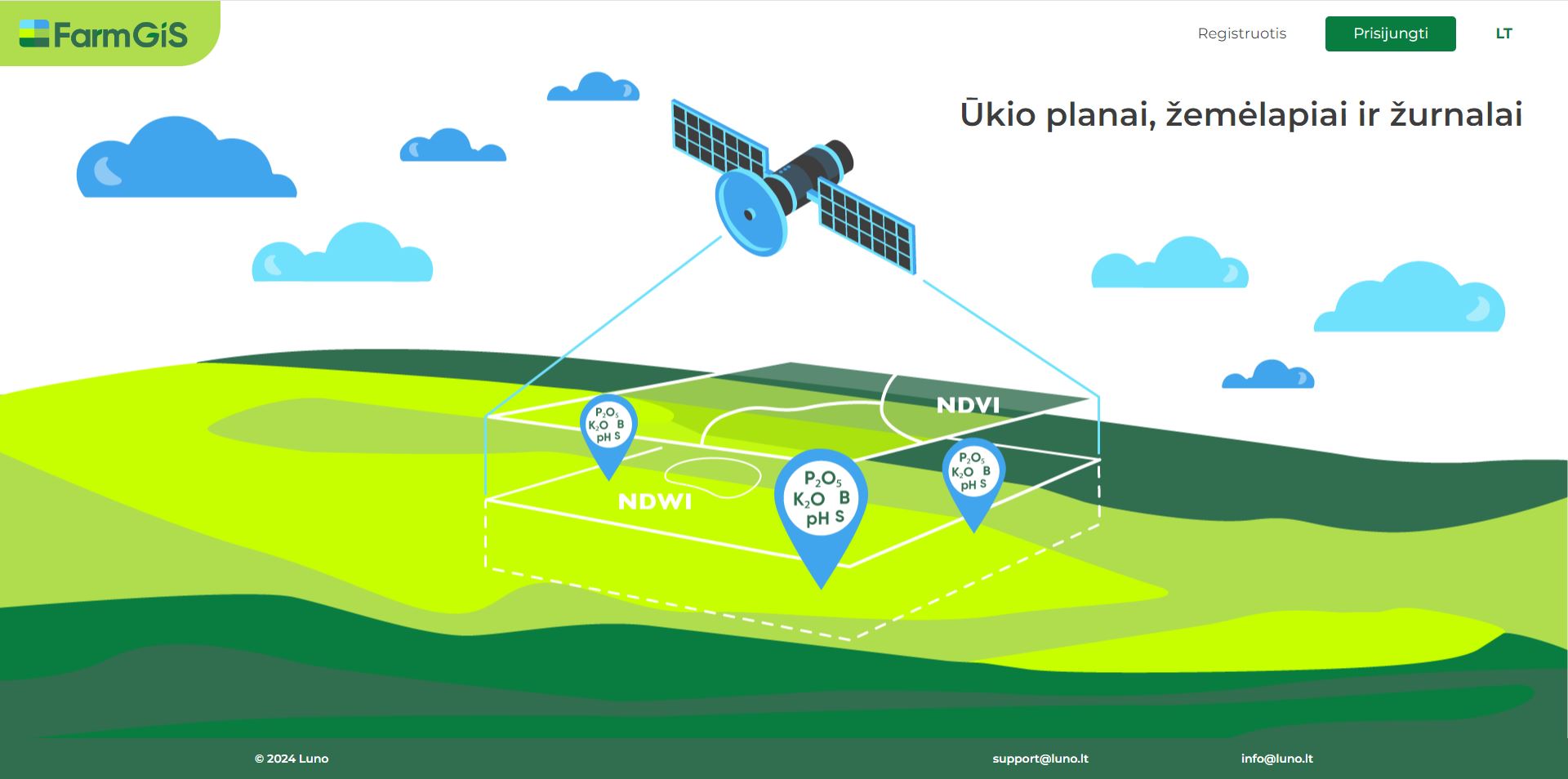
- VRA maps generation using NDVI and other Indexes from Sentinel-2 images and their data output for field application
- Warehouse data management integrated into the planning and field operations management
- Field Scouting tools integrated with satellite monitoring data
The service is adopted for use on mobile devices in the field.
Currently, the service is provided only in Lithuania by our service partner iAgro, UAB. Please register https://iag.luno.lt/ and contact iAgro to use the service.
More information: www.iagro.lt
The launch of the FarmGiS service in Lithuania, Latvia and Estonia is scheduled for 2024. The launch in other countries is planned for 2025 and beyond. Please contact us for partnership opportunities.